We have been visiting and fishing this run since the 1970's. Things have changed drastically. Just looking at the immediate stream corridor from Laurel Run Road downstream is ignoring the big picture. Development on Cannon Hill and the headwaters have both depleted groundwater and increased runoff. I think a macro survey would be helpful also. When we surveyed it back in the 80's it had variety and abundance of bug life. Look at the West Branch above Laurel Road. That is the branch that carries the stream name. It is a trickle of pondwater and trampled horse pasture with NO vegetation and no discernible streambanks. But, but, the sand.............!
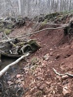
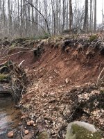
All of the above may be true to some degree too. I don’t doubt it. But, I think the evidence suggests the sand limiting the habitat most of the time is the biggest limiting factor. This affects the macros too.
Again, I cite the very common sentiment that the stream was fishing very well from roughly 2012-2015 as evidence of this. We have half a dozen, or more, anglers reporting this same thing. The problems cited above…dewatering, runoff, horse pastures were all present before that last recent boom period of biomass in 2012-2015. Which immediately followed a scouring flood that greatly (albeit temporarily) improved the habitat.
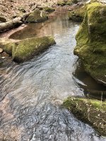
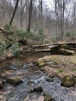
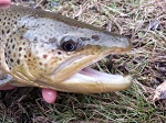
I’ll be honest, prior to the 2011 floods I had fished it a few times, and never caught or saw a Trout. Caught a few Chubs IIRC in the bridge hole in the SGL. One day, after the floods, in 2012 I think, I only had a short window to fish, and I lived in South Lebanon Twp. at the time and could be on Segloch in 25 minutes or so from my house. So I went, not expecting much of course given my prior experience with it being sandy and having little habitat. It was like fishing a totally new stream. I loved it. The habitat was now great! I caught lots of small Trout, about a 50/50 mix of Brooks and Browns, and over the next several years the size increased, peaking in about 2015 or so. Then it started to go downhill. And IMO it’s back to where it was when I first fished it now, and I don’t have much of an interest to fish it anymore. Mike wasn’t kidding when he said that entire boulders, the size of beach balls, were completely covered by sand, and were now exposed. They’re completely buried again, you’d never know they were there.
It’s ok to have varying opinions on this, but my guess is after the next scouring flood, we’ll see another brief renaissance period for Segloch and the other Furnace Hills streams. We can test my “sand” hypothesis as being the primary limiting factor then.😉 Shearers, Furnace, Walnut, Kettle, Elders, and to a somewhat lesser degree Hammer, can be willing test subjects too.