
Fly Fishing Northeast Pennsylvania:Poconos & Upper Delaware Trout Streams
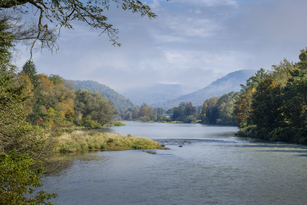
The Poconos and Upper Delaware put a lot of different water within reach: broad rivers, Pocono freestones, stocked family water, and cold tributaries that make you slow down and look around. It helps to arrive with a plan. It also helps to leave room for a change of plans.
The Delaware, Lehigh, Brodhead, and Lackawanna give this corner of Pennsylvania its recognizable names. The real appeal is the variety between them. One trip can be built around a drift boat and a larger river; another can mean a few meandering roads and a smaller piece of water with wild brook trout. There are plenty of choices in the region.
What makes the Poconos & Upper Delaware different
The region reaches the Upper Delaware along the New York and New Jersey borders, but this guide stays focused on the Pennsylvania counties and water within the approved Paflyfish Northeast region. That distinction matters when you are sorting out streams, access, rules, and a day’s worth of driving.
The Delaware River is the anchor for anglers looking for larger water, bigger fish, and some exciting challenges. Working with a guide in a drift boat is a good plan for any angler newer to this water, but it is not required. It is about as close as you can get to western tailwater fishing here on the East Coast.
Outside the Delaware, some of the area’s subregions include the Susquehanna Lowland, Pocono Plateau, and Lehigh Gorge. An easy way to start sorting them out is to look at the Special Regulation streams and the Class A streams. Many Special Regulation waters are stocked by the PFBC in the spring, while Class A listings point to naturally reproducing trout populations. The map below helps put those locations in context.
Geography
Northeast Pennsylvania was shaped by the last glacial advance. As the ice retreated roughly 15,000–20,000 years ago, it left rounded ridgelines, broad upland plateaus, wetlands, lakes, and deeply cut river valleys. Meltwater helped carve the corridors that now carry the upper Delaware and Susquehanna watersheds.
Elevations generally run from about 600 feet along the river valleys to more than 2,400 feet on the plateaus. The terrain is most rugged in Sullivan, Wyoming, and Carbon counties.
This region also has a long history of coal mining. Many streams have had to recover from decades of acid mine drainage. The Stan Cooper Sr. Chapter of Trout Unlimited works to protect and restore streams and habitat in the watershed. That work matters when you are looking at water that has had a rougher past.
Explore Northeast trout water
The map is here to help you get oriented, not to replace common sense. Use it to look at Class A Wild Trout streams, stocked water, special-regulation water, wilderness streams, and county boundaries across Northeast Pennsylvania.
Turn layers on and off to see how the water fits together. Then check regulations, current conditions, and access information before you make a trip of it.
The interactive map is loading. If it does not appear, use the Stream Conditions page instead.
Hatches
In Northeast Pennsylvania, the season really gets going in early spring with Caddis and Blue-Winged Olives (BWOs). You’ll start seeing dark caddis on the Lackawanna River as early as March, and as things warm up, activity spreads across the region with strong caddis presence on the West Branch of the Delaware River through late spring. BWOs are another steady option, showing up on the Lackawanna in March and again during cool periods, and on the Lehigh River in April—especially on overcast days. Hendricksons become a key hatch to watch, with consistent activity on Fishing Creek and the upper Delaware River system once water temperatures settle into the right range.
As you move into late spring, Sulphurs, Tricos, and Isonychia take over across the region’s main rivers and streams. Sulphurs typically peak in late May and June, with dependable spinner falls on the Lehigh River, Brodhead Creek, and Fishing Creek, while the Delaware River remains a major draw for dry fly fishing during this window. By July, Tricos provide steady morning fishing on the Lackawanna River and the Lehigh. Isonychia (Slate Drakes) round out the season, showing up again along with Caddis from September and offering a reliable option in the region. Check out the Pennsylvania Hatch Chart and the Stream Reports for this region over the years searching by county or stream name.
Stream conditions right now
These gauges are a good place to start when you are trying to decide whether to go, where to go, or just stay home and tie some more flies. They are a limited reference point; a more complete listing can be found on the USGS Real-Time Water Conditions for Pennsylvania page.
| Station Name | Gage Ht (ft) | Discharge (cfs) | Trend (2hr) |
|---|
After Fly Fishing
Whether you are working the Upper Delaware or exploring the smaller gems of Sullivan County, the right meal is just as important as the right fly. In the northern reaches, the Crosstown Tavern in Starlight remains a legendary go-to for anglers fishing the Delaware system—it’s the kind of place where the atmosphere is as consistent as the hatch. Further west in Hillsgrove, the High Knob Inn offers a true off-the-beaten-path experience and stands as a classic Sullivan County stop for those spending a quiet day deep in the mountains.
If your travels take you through the Poconos, Blakeslee and White Haven offer a solid mix of options. In Blakeslee, Da’s Pub and the Chat-n-Chew Cafe make for easy, reliable stops, especially if you’re looking to get a good breakfast in before heading to the water. Over in White Haven, you can shift gears between the more upscale Powerhouse Eatery or keep it simple at the White Haven Family Diner. The diner is tough to beat when you’re ready for a big burger after a long afternoon working the nearby runs.
Make a weekend of it
Fishing may be the reason for the trip, but this part of Pennsylvania makes it easy to stay another day. A good base camp means you can fish in the morning, take a hike or look around in the afternoon, and not spend half the day driving back home.
Hickory Run State Park is the Poconos option when the group wants more than one thing on the schedule. There is a large campground, camping cottages, and deluxe camping cottages. Boulder Field, Hawk Falls, and Sand Spring Lake give the non-fishing part of the trip plenty to work with. It is a practical place to set up and see what the weekend looks like.
Ricketts Glen State Park is the obvious choice when the waterfalls are part of the plan. The park has camping, modern cabins, and deluxe cottages, with Lake Jean nearby. The Glens Natural Area contains 21 waterfalls, and Adams Falls makes 22 named waterfalls in the park. The Falls Trail is steep and can be slippery, so bring real boots and give yourself enough time. No need to turn a good day into a rescue story.
Worlds End State Park is a good fit for anglers who want to spend time around Loyalsock Creek in Sullivan County. The park has a 70-site campground and 19 rustic cabins, plus access to Loyalsock State Forest and the Loyalsock Trail. The overlooks are the draw after the rods are put away, but the stocked creek running through the park makes it a useful fishing base, too. Check the current park details and availability before you go.