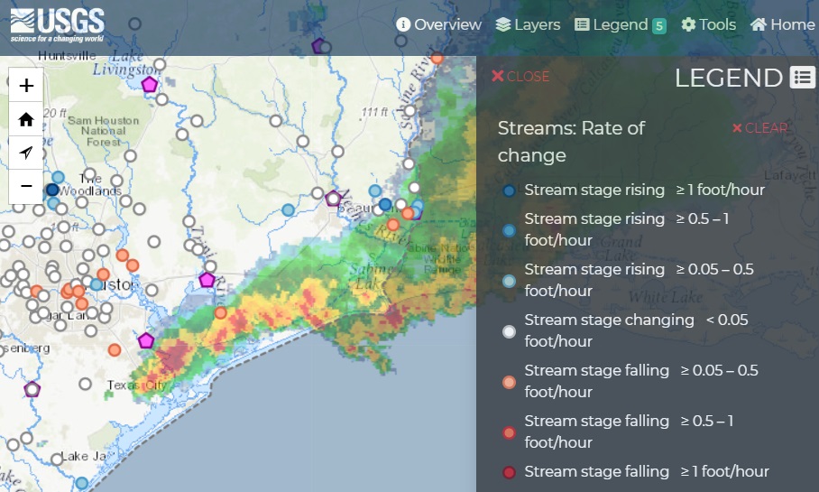
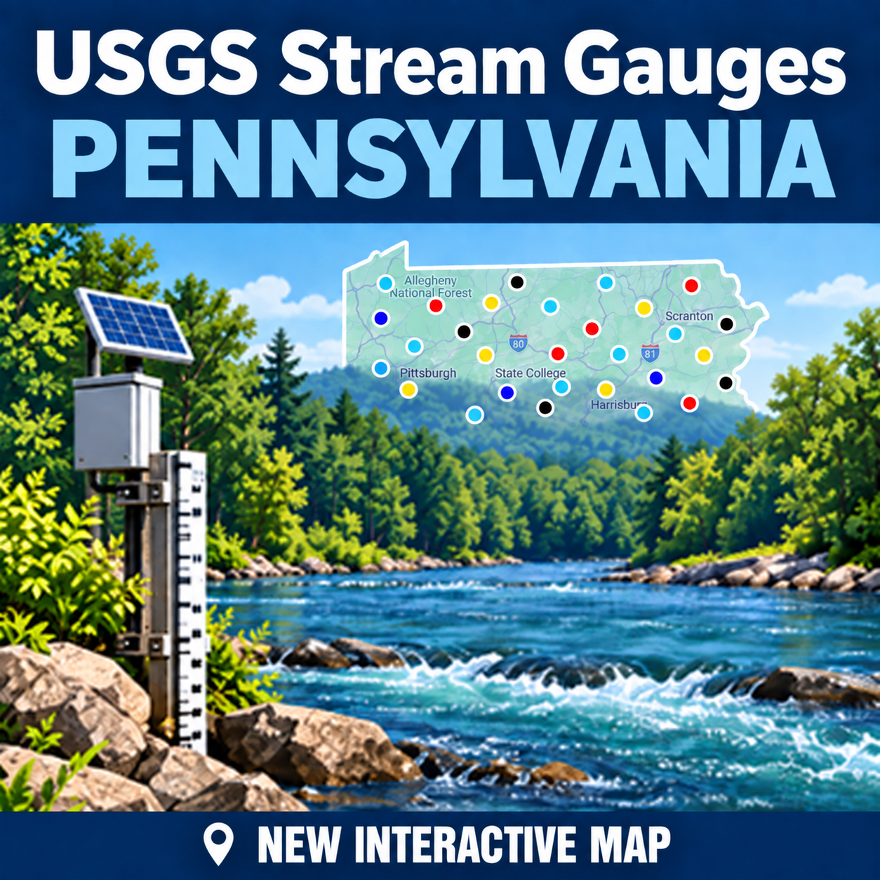
The USGS implemented many new updates to their USGS Water Monitoring Pages over the last few years. The biggest part of this was decommissioning many older pages and services that just don't work anymore. Trying to make lemonade out of the situation I have added a new page on Paflyfish since the table page is no longer available. The new USGS Streams Gauge Page for Pennsylvania actually offers some new data on the page with a paired done table of streams more focused on fly fishing streams in the state.
Other enhancements:
The new page can be found in the Content menu above or on the righthand sidebar with big new shining badge USGS Real-Time Water Conditions for Pennsylvania.
Other enhancements:
- Streams organized to six regions in the state
- Regional toggles to minimize the about of streams displayed
- Stream level 2 hr trend with new visuals for faster reading
- Water temperature converted to Water Temp (°F)
- Air Temperature readings from the National Weather Service
- Links from the site name to Google Maps
- Links from the station # to the USGS Station page
- Fixed - sticky-header behavior for desktop computer 9/11
- Updated for improvements on mobile devices in horizontal view 9/11
The new page can be found in the Content menu above or on the righthand sidebar with big new shining badge USGS Real-Time Water Conditions for Pennsylvania.
Last edited: