New: enhanced/navigable pa public fishing map

A couple things come to mind in regards to your question:

1) Actual (usable) navigability on an individual basis for most of the waters on the DCNR listing have not been legally tested or asserted, which is what actually matters in terms of public access. That 100-plus acre salad bowl over to Spartansburg almost certainly falls into this category.

2) Even if Oil Creek itself is considered publicly navigable, so far as I know, that does not necessarily covey the same status on the East Branch of Oil Creek which is an Oil Creek tributary and where Sparty Pond is located. The Little J is considered navigable, but Spruce Creek and the Little Bald eagle are not. Kinda like that..

(As I assume you know), there is a functional kayak/canoe launch on Sparty Pond that is open to public use or at least was as of a few weeks ago. Do you believe this status is somehow in jeopardy due to privatization? If so, I've not heard anything about it and I'm relatively local.
I have lived in Spartansburg for over 60 years and have fished the Pond my whole life.
I was just curious if when a stream is deemed navigable it is deemed navigable to it's headwaters was my understanding.
Oil Creek runs through the pond and has been deemed a navigable stream below and above the pond.
Was just curious if the navigable ruling pertained to the lake its self.

No there is no threat to privitization..
I see we are battling an invasive weed now.
Have brought in biologists to recommend a plan of action...
 
I don't know the answer to your navigability question. So long as names (especially officially used names) have any meaning, Oil Creek does not run through Clear Lake. The East Branch of Oil Creek does, though. It may seem a trifling difference to some, but again, so long as we are dealing with officially used names and potential legal questions such as navigability, I think it matters.

To that end, Oil Creek proper is the outlet of Canadohta Lake and not the stream that flows through Clear Lake.
 
Was just going by the map.
 
Streams colored or outlined in bright green have "Publicly Owned Streambeds" as of 2024, per the PA DCNR. Source:


As to whether one can therefore legally walk said streambeds is another matter. Several have been adjudicated, but I believe most have not. The DCNR classification might give one a leg up in court were one to demand public access rights, but I believe that's as far as it goes.
 
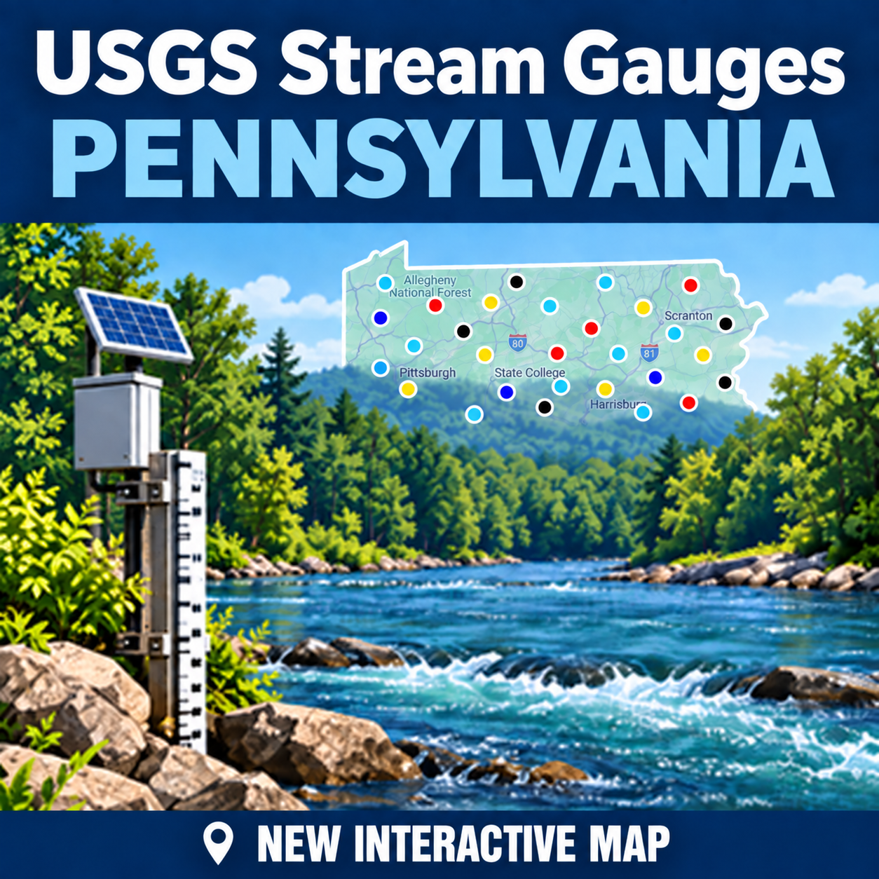
Added greater coverage of public land, *potentially* publicly accessible land, and non-trout waterways.
 
Last edited:
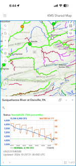
I know a lot of y’all hate AI, but dang it’s handy for coding. Added past week stream gauge popup graphs to the color dots display. 👍

1792733642622.png
 
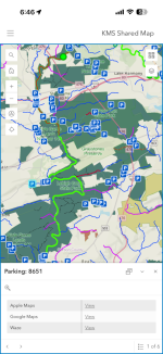
Added cooler gauge graphs, directions, and bathrooms ftw.

IMG_0367.pngIMG_0368.png
 
Managed to hurt my right hand, so dumped some time into enhancing flow gauge popup display.

Display enhancements:
  • Title shows current flow status (colored) with current flow percentile and last read time
  • Graph headers and footer show current CFS, water temp (if reported), current weather
  • Graph shows 7day trailing CFS, air temp, water temp
Data enhancements:
  • Flow status: USGS only develops percentiles for gauges with 20+ years history. Analysis showed 6 years is sufficient to estimate percentiles, so I created a worker to backfill percentiles for gauges with 6-19 years, reducing the number of unranked (white) gauges from 80 to 21
  • Weather from Open Meteo
Screenshot 2026-11-15 171433.png
 
Last edited:
DK if anyone uses this besides me, but fwiw all 12,000+ parking locations now show current weather.

Screenshot 2026-11-17 134023.png
 
Last edited:
Ok this is cool. I was able to download the app, then click your first link and see what you’ve created. I feel ashamed to have to ask techy questions haha,

How do I open the app and then find you or your maps so I don’t have to click the link you posted here? If I made an account would I be able to save your maps or make my own?
 
  • Like
Reactions: Kms
I would love to play with the maps, but everytime i try it seems my mouse is the energizer bunny, i scroll will take me to england out of pa. Very strange..
 
  • Like
Reactions: Kms
Ok this is cool. I was able to download the app, then click your first link and see what you’ve created. I feel ashamed to have to ask techy questions haha,

How do I open the app and then find you or your maps so I don’t have to click the link you posted here? If I made an account would I be able to save your maps or make my own?
The app is kind of annoying, and at this point really only has one advantage over the browser, which is that you can tap anywhere on the map in the app to get directions (rather than only the preset parking locations in the browser). For research or prospecting a browser is a better choice. It’s fast on both desktop and mobile devices, but you may occasionally have to close and reopen the tab.
 
Last edited:
I would love to play with the maps, but everytime i try it seems my mouse is the energizer bunny, i scroll will take me to england out of pa. Very strange..
Arcgis zooms +/- with the mouse wheel. To change locations you have to click and drag the map.
 
Holygumdrops batman "Kms" thank you for this and being a land survey technician I am fully geeking out right now ..lol...
 
I don't know the answer to your navigability question. So long as names (especially officially used names) have any meaning, Oil Creek does not run through Clear Lake. The East Branch of Oil Creek does, though. It may seem a trifling difference to some, but again, so long as we are dealing with officially used names and potential legal questions such as navigability, I think it matters.

To that end, Oil Creek proper is the outlet of Canadohta Lake and not the stream that flows through Clear Lake.
Sorry so late on this topic!

Riparian Law is sooo confusing and a water navigation survey by the feds has not been done since I believe 1855 lol with that being said one time the Ohio River was not on the list of navigable rivers.


The statute of limitations always points to the local governing bodies for rules and regulations on this "they never give a straight answer.

In Ohio the water is held in a trust and the streambed is private. Every state is different and if it was only like Michigan!
 
Back
Top