1wt wrote:
[color=0000FF]I know one area upstream of the hemlocks where the point bar that has been there since I can remember has been eliminated. Thats amazing.[/color]
Yes it is!! That is where folks walk in when they park in the lower parking lot. Last year it had a tree there and was 4' deep, now it's 1' deep.
It was NEVER 4 ft deep there. Its now over your knees and wider granted but that just presents a different fishing challenge. The depth of the run on the near bank has become deeper even though its wider. Because of the run above that flushed out the old bedload. Thats all now in the hemlocks as I said.
Also on the top of the bank it is covered with sand now?
Hey, Maurice, who is the OP? and what does that mean? I'm a friend that fishes all the Muddy Creeks and catches a lot of trout. I'm just being honest about the changes that are happening in our local streams.
OP is you in this case "original poster". There are changes, some big ones. but you are mistaken to assess the overall changes to be negative. In this case the changes have exposed more holding areas than the covered. The sand on the high banks is just the distribution of "fines" in the least velocity areas. In this case some ten ft above the stream level on the flood plain. Keep in mind the water was 4ft deep where that sand is during the flood.
And it was a "paradise" only a few years ago. Same thing with the Muddy Creek Forks, it was truly a trout paradise. Now it's posted and privatized with bulldozed paths all over and warning signs to tell the fishermen to stay in the creek and don't step on the private property! The train only goes back a little and I have been chased off the tracks and told "this is now private property, get out" A lot further downstream a guy came down the hill with a shotgun in his hand and told me to get off his private creek?? State stocked, but he thought he owned it!!
The stretch below the forks you speak of was a point of contention prior to the opening of the season. The Railroad society has a right away for the entire corridor theoretically but the land is owned on both sides b private landowners. The particular landowner below the forks was bullying the railroad early this year and that area was almost not stocked. Through the cooperation of MCTU and our WCO Kephart an agreement was reached when WCO kephart visited the landowner and he was pleased to allow fishing so long as the anglers stayed along the stream and not wandered up along the tracks. You seem to have disobeyed the signs jeopardizing the hard work of others. Next time follow the instructions and stay in the crik.
In addition the reach below this (Zimmerman) has been posted for the most part and OFF the stocking list for more than 20 years. In the 80's the Zimmerman access was as popular as the forks....too popular which is why it became posted. Its remote and a hotspot for partiers. I've never been chased from there though.Although I don't fish it often. But that is nearly a mile below the forks.
Maurice, I know that you are involved with TU and I was going to help with the stocking next year. Please don't think I'm badmouthing the stream just because I mention all the major changes I see.
I meant no disrespect when I mentioned how shallow the creek is getting.
Again its not getting shallower. Your characterization is inaccurate and damaging to how it is and could be managed. Seems our AFM sees little value in the area and hasn't visited or seen the stream in nearly a decade. Your characterizations cause unjustified concerns for him and cries of wolf can only cause harm to the eventual management of a perfectly suitable C&R FFO area.
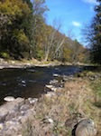
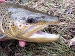
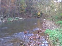
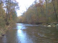
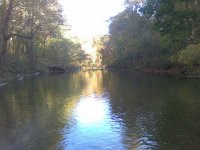
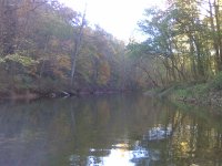
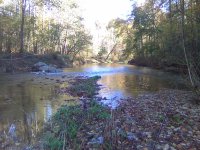
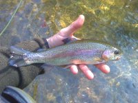
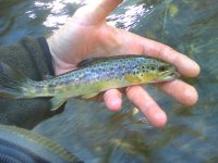
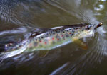
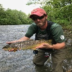
I will include some photos I took today while only catching 2 trout, I am sure I fished over many more. IN the upper FFO area and the gradient change the water is so deep in so many areas its difficult to assess where the best lies are. Plus leaves were a ***** today.
Anway, stay away from the hemlocks till the next big storm. And oh yeah.....when you find a gravel bar where you feel the crik is too shallow, stand on it and fish to the far bank...because where the water isn't shallow its DEEP!. So if yer in shallow deep is nearby. And by deep I mean 1.5 -3' deep (knee to waist deep) Thats where the fish hold. Its the most common water and the mean depth of the thawig throughout the stream. There are much deeper areas but you cannot expect to have that depth everywhere, its not a lake.
I saw some changes upstream as well but for the most part the water is deeper because of where and to the extreme bedload was deposited, some places the thawig was inverted to the opposite bank, mid channel bars were nearly gone, but its all better now. The fly area always had a few flat wide stretched where the fines settle. If you've fished it for years you'd know where they are.