Dam on Pine Creek?

W

wsender

Active member
Joined
Aug 9, 2010
Messages
1,678
I heard, second hand, that two hikers were hiking on Rails to Trails heading towards Waterville and they encountered what looks like the start of a dam and a possible diversion channel to aid the construction. I don't know these people so I have no idea how knowledgeable they are in area's regarding things like this so I'm skeptical.

Is there possibly an existing weir in the area that could be confused as something new and a naturally occurring cutback channel could be confused as the diversionary channel?

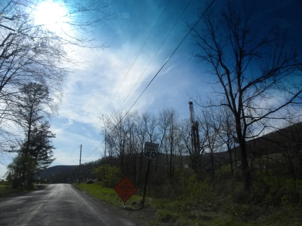
The person said it was going to be used so 'frackers can draw more water'. I don't remember seeing anything about a damn being built in the area though. Any light on the subject would be great.
 
they'd probably like to build a big one at waterville and just flood the entire canyon.
 
just learned its a pumping station. Going to pump water to the top of mountain for fracking...I kid you not!
 
here is a link to an article on this subject.

http://lockhaven.com/page/content.detail/id/531549/Water-For-Gas.html?nav=5009

 
I wonder what the cost of getting water to a well site is?
 
reds nailed it right on the head with that link. I just logged on to post it. This really sucks..... :-(
 
wsender wrote:
reds nailed it right on the head with that link. I just logged on to post it. This really sucks..... :-(

Probably a lot less of an environmental impact than trucking the water. I'm just surprised that it is cost effective.
 
I think the impact he was referring to was taking it from Pine creek in the first place, regardless of the method.
 
We have shown the math to calculate water withdrawal impacts in previous threads. In summary about 995 million gallons flowed by the Waterville gauge in the last 24 hours. If a driller withdrew 6 million gallons today for well fracking less than 0.7% of the water would have been removed. This is a typical quantity identified per well in news articles. I'd also be surprised if they could pump that much in a day so it's likely the impact would be further spread out. The driller would not need to withdraw more until the next well is fracked.

As long as some common sense is used during drought periods and the overall cumulative affect is considered when handing out withdraw permits the stream can support a fair number of wells without noticing the withdraws.

The temporary damns that are built to support construction are similar to those built during bridge repairs. They result in short term sedimentation impacts but are not factors long term. I've looked for similar withdraw locations on the Delaware when bass fishing and had a hard time locating them.

My biggest concern is that we keep an eye on these to make sure an unscrupulous driller doesn't use it do dump waste water back into the stream.
 
I have seen the gas well that the water is going to be pumped to. unlike most of the well sites in the area, this one is located down in the valley on what probably was once a farmers field. You can see it close up. It is located right next to rt. 973 North East of the village of Tombs Run. I have a photo of the rig that I will post. Down the road a little way, you can see the water pipe line that they are running above ground. It kind of looks like a smaller version of the Alaskan pipe line.
 
I don't think that the removal of water will hurt Pine Creek much because the dam is located well below any trout water. If they were removing water from farther uptream, I would be more worried about possible environmental harm.
 
Here is a picture of the drill site that they are going to pump water to.

phpNcvZaQPM.jpg
 
Sure it won't hurt cause the one near galeton is already drawing the stream down..plus they have 6 wells near me to draw water from once they get the permits at 4 mil. gallon a day per well. Luckily we have the fish culture station there and they are fighting it too. Its a federal one. then one on crooked creek and 2 more in the area there, should I keep going on how many wells and pumping stations all drawing between 4 to 6 mil./gallon/day and they are too.
 
Bob,
The withdraw site at Galeton looks like a third world construction project. No wonder the stream gets silty so fast and takes alot longer to clear. Also noticed Phoenix takes a couple of days longer to clear , I wonder why?
 
Is the Galeton withdraw site serviced by trucks?
 
Franklin they all are serviced by trucks, don't let it fool ya the one pumping over the mtn. will be serviced by trucks on top. Its not just feeding one well but lots of them in the surrounding area.
 
sandfly wrote:
Franklin they all are serviced by trucks, don't let it fool ya the one pumping over the mtn. will be serviced by trucks on top. Its not just feeding one well but lots of them in the surrounding area.

Understood. It's still better to move the trucks away from stream side. All those trucks coming up to the stream bank causes a lot of erosion. In addition they are older trucks in marginal state of repair. I bet there is a lot of oil on the ground in the areas they frequent. Spilled engine and lubricating oil is one of the most listed violations when they inspect well sites per the DEP inspection reports.
 
As long as some common sense is used during drought periods and the overall cumulative affect is considered when handing out withdraw permits the stream can support a fair number of wells without noticing the withdraws.

When the all mighty dollar is at work and we dont have the resources to monitor these activities.....what are the chances of environmental common sense by the industry?

Common sense to them helps the bottom line.
 
salvelinusfontinalis wrote:
As long as some common sense is used during drought periods and the overall cumulative affect is considered when handing out withdraw permits the stream can support a fair number of wells without noticing the withdraws.

When the all mighty dollar is at work and we dont have the resources to monitor these activities.....what are the chances of environmental common sense by the industry?

Common sense to them helps the bottom line.

It's the permitting processes that requires some common sense. I don't expect driller A at the top of Pine to know what driller B at the lower end is doing. The sum withdrawl on any given day is where any real impact comes, not any single location except in very severe drought.

If the permitting process does not take into account the cumulative effect then it needs to be amended. I've heard conflicting stories about the processes and it seems they vary by major watershed.
 
Back
Top